NASA’s Dec. 15 launch of an eye in the sky to monitor Earth’s water follows 18 years of work by Tamlin Pavelsky, a professor in the College of Arts and Sciences, and a global team.
Days out from the long-awaited launch of a satellite to track the planet’s water resources, professor Tamlin Pavelsky couldn’t stop smiling.
“I hope you will be as excited about the launch as I am, if that’s possible,” Pavelsky told an audience in the Morehead Planetarium and Science Center at a Dec. 5 talk.
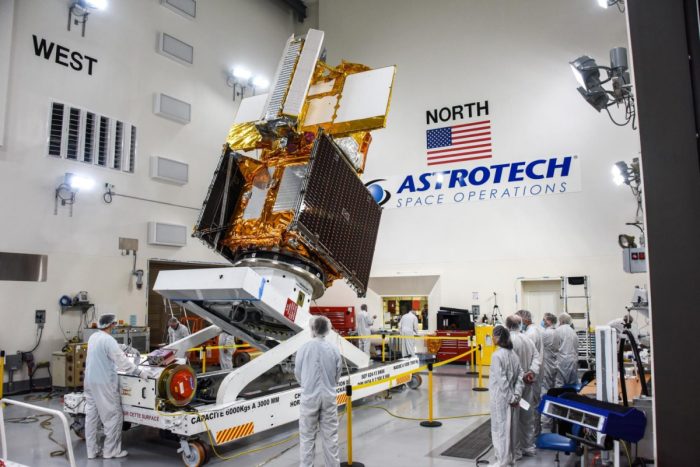
NASA’s planned Dec. 15 launch of the Surface Water and Ocean Topography satellite, using a SpaceX Falcon 9 rocket, is the “culmination of many years of efforts,” Pavelsky said.

Pavelsky went to his first meeting about SWOT in 2004, five years before joining the Carolina faculty. Now a global hydrology professor in the earth, marine and environmental sciences department in the College of Arts and Sciences, Pavelsky has been the hydrology science lead for the SWOT mission since 2013.
For his work leading the surface water community towards solutions for measuring river flow from space, Pavelsky was awarded a Presidential Early Career Award for Scientists and Engineers, the highest award given by the U.S. government to early career researchers.
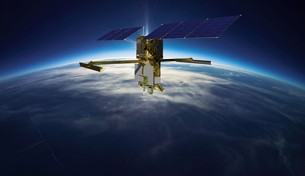
A collaboration between NASA and the French space agency, with contributions from the space agencies of Canada and the United Kingdom, SWOT will be the “first global survey of nearly all water on Earth’s surface,” NASA said in its announcement of the launch. “Scientists plan to use its observations to better understand the global water cycle, furnish insight into the ocean’s role in how climate change unfolds and provide a global inventory of water resources.”
Measuring water over time
The SWOT satellite represents a great leap forward in measuring water on the Earth, Pavelsky said. The ancient Egyptians were one of the first to try, building structures upstream so that priests could track the Nile’s depth to predict floods and droughts. In more modern times, gauges on rivers and along coastlines provided some information, but coverage could be scattered and haphazard.
Later, satellites deployed in space were able to take pictures that showed, for example, what the Mississippi River basin looked like during normal times versus during flooding. Satellites equipped with altimeters were able to provide information about ocean depths but not about rivers or lakes.
But researchers like Pavelsky wanted something more comprehensive. They wanted a monitoring system that could:
- Simultaneously measure water height and extent.
- Work in rivers, lakes and oceans.
- Measure over the whole globe.
- Collect frequent observations.
Pavelsky credited Ernesto Rodriguez of the NASA Jet Propulsion Laboratory with the technological breakthrough that made SWOT possible: the Ka-band Radar Interferometer. Called KaRIn for short, this instrument uses a 10-meter boom with an antenna at each end to transmit and receive 1-centimeter wavelengths. Through triangulation of these short wavelengths, the KaRIn instrument can achieve the accuracy, resolution and wide swath needed for the SWOT mission.
Practical uses
SWOT will generate a massive amount of data about the Earth’s water resources that NASA will be able to share with the public, beginning about 10 months after the launch. Pavelsky is most excited about the practical uses for this wealth of information.
“SWOT will give us the first 3D images of floods, so that we can to a better job of modeling floods and predicting when there’s likely to be flooding,” Pavelsky said. Researchers will also have a clearer picture of the Earth’s supply of water. For the first time, nearly 6 million lakes and reservoirs will be observable from the sky, enabling hydrologists to track the amount of water in them and how it changes over time.
“SWOT will usher in a new golden age for the science of rivers and lakes,” Palevsky said in response to NASA’s query of its team about what excited them most about SWOT. “As climate change and direct human activities influence our rivers, SWOT will help us to understand changing risks from flooding, opportunities for sustainable water use and the fundamental natures of these important natural systems.”
If you are as excited as Pavelsky is about the SWOT launch, join the mission as a NASA virtual guest and tune in for coverage of the launch online at NASA Live early Dec. 15. The launch from Vandenberg Air Force Base in California is scheduled for 3:46 a.m. Pacific/6:46 a.m. Eastern time.
By Susan Hudson, The Well